
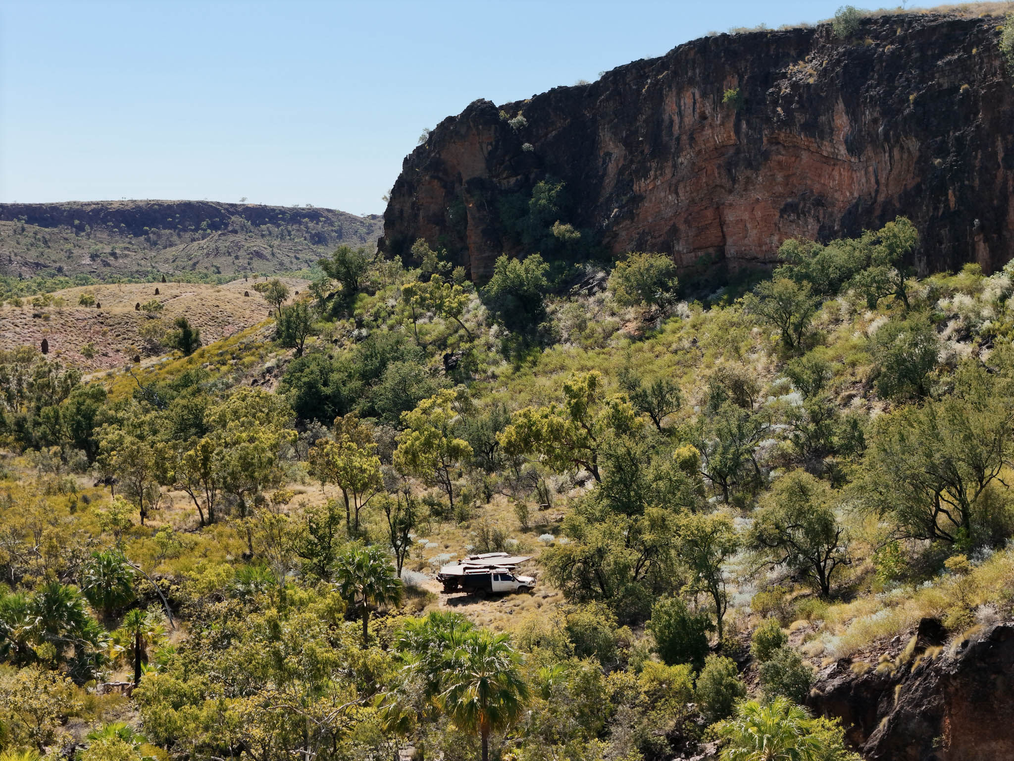

We spent six days chasing drop pins and satellite images down every overgrown track and side road between Halls Creek and Kununurra, to find out how much of this country was still reachable after one of the biggest wet seasons the Kimberley has had in years.
This pack is everything we found, mapped and marked so you can drive it yourself.
WHAT'S INCLUDED
- Every camp from the episode: the Ord River, Negri River and Behn River, plus the hidden spots we've kept off the video
- The tracks and side roads we explored, including the ones that led somewhere special
- Waypoints for camps, water, gorges and lookouts
- Notes on which tracks were open, which were locked, and which the wet had claimed at the time of filming
- GPX files compatible with Hema, Gaia, Avenza, OsmAnd and most GPS units and apps
WHY IT'S WORTH IT
Some of these camps aren't on any mapping platform. We found them the hard way, sitting up at night over satellite images, then driving the tracks to see what was real and what was a waste of an afternoon. This pack saves you that legwork and points you straight at the good ones.
A NOTE ON CONDITIONS
The Kimberley changes season to season. A track that was open when we drove it might be locked, washed out or overgrown by the time you get there, and gates and access can change without notice. Treat these files as a guide, not a guarantee, always check current conditions with the shires and stations, and get permission where it's needed.
Filmed and mapped June 2026.