
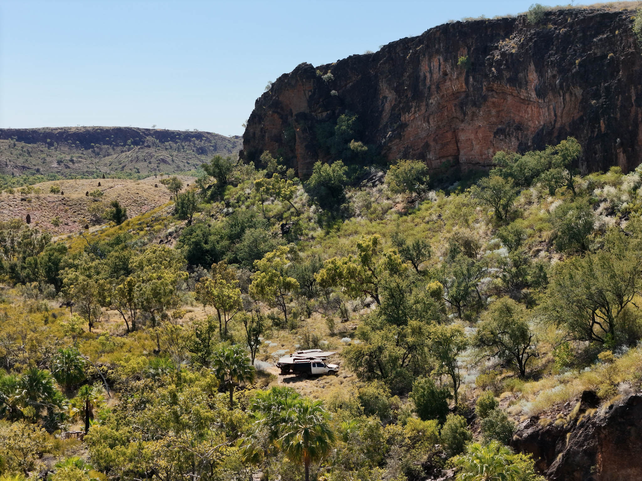

We spent six days chasing drop pins and satellite images down every overgrown track and side road between Halls Creek and Kununurra, to find out how much of this country was still reachable after one of the biggest wet seasons the Kimberley has had in years.
This pack is everything we found, mapped and marked so you can drive it yourself.
WHAT'S INCLUDED
- Every camp from the episode: the Ord River, Negri River and Behn River, plus the hidden spots we've kept off the video
- The tracks and side roads we explored, including the ones that led somewhere special
- Waypoints for camps, water, gorges and lookouts
- Notes on which tracks were open, which were locked, and which the wet had claimed at the time of filming
WHY IT'S WORTH IT
Some of these camps aren't on any mapping platform. We found them the hard way, sitting up at night over satellite images, then driving the tracks to see what was real and what was a waste of an afternoon. This pack saves you that legwork and points you straight at the good ones.
Digital download - nothing to ship. Your files land in your inbox as soon as payment clears (usually straight away). Load them into Hema, Gaia, Garmin, OsmAnd or Google Earth and go.
Every waypoint in this pack is a place we've actually stood - driven, camped and filmed. If we haven't done it, we don't sell it.
See it before you drive it: watch the episode here
Heading along the Gibb too? Read our trip reports from the Kimberley before you go: Gibb River Road Early Season and Starting the Gibb River Road, and watch the episodes here to see the conditions for yourself.
The Kimberley changes season to season. These GPX files and waypoints are provided for general reference only and reflect the conditions we found at the time we travelled. Tracks change. Weather, washouts, fires, closures and seasonal access can all turn a good run into a bad one, so always check current conditions before you head out, and sort any permits or permissions needed for the areas you're entering.
You are responsible for your own safety and that of your passengers, your vehicle, and every decision you make on the track. Carry plenty of water, fuel, recovery gear and a reliable means of communication, and remember that much of this country has no phone reception and no quick way out.
By using these files you accept that you do so entirely at your own risk. Adventure Lifestyle takes no responsibility and accepts no liability for any injury, death, loss, damage, vehicle wear, fines or misadventure suffered as a result of following our tracks or visiting any location in these packs.
Still deciding? Our free Duncan Road location guide covers the season, access, permits, fuel and camps - the planning side. It has no tracks or waypoints, so it won't get you through the country. That's what this pack is for. Get the free guide